Let’s Talk…..Earthquakes & Tsunamis

Welcome Back!!

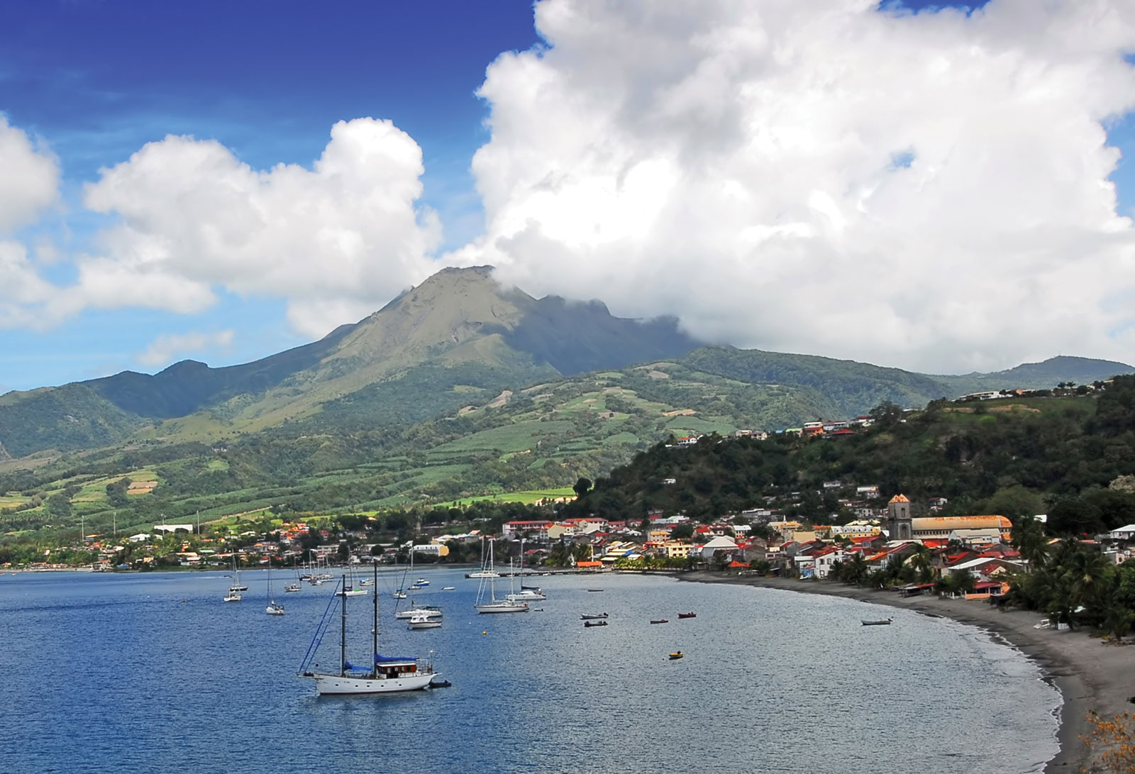
Today we’ll be talking about Earthquakes and Tsunamis. Before we get too carried away, volcanoes do cause earthquakes and tsunamis, just to tie in our first talk with today’s conversation.

Now let’s get back today’s talk, what are Earthquakes?

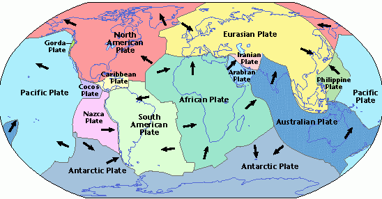
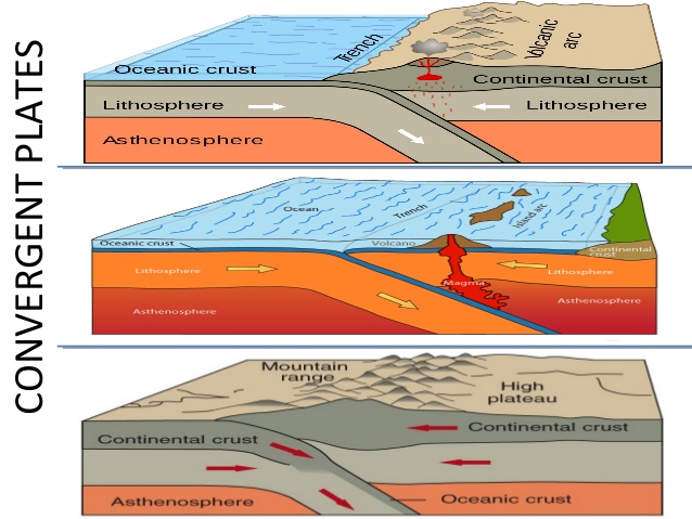
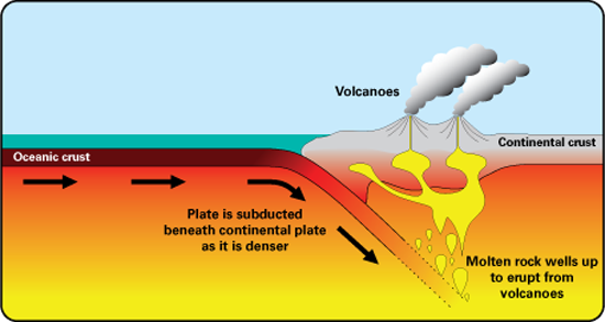
According to environmentguide.org.nz, “Earthquakes are caused by a sudden release of violent ground energy caused either by the shifting of the earth’s crust or volcanic/magmatic activity. Most earthquakes occur when two sides of a fault slide past each other. The crust may either be compressed, pulled apart, moving sideways or a combination of these. The resulting seismic waves are felt as earthquakes. “C

Earthquakes are unpredictable, this makes them even more dangerous. They can cause landslides,tsunamis, flooding and other catastrophic disasters. The shaking of an earthquake can cause windows to break, structures to collapse, fire and other dangers.

The magnitude of earthquakes are measured by a Richter Magnitude Scale. This machine was developed by Charles F. Richter of the California Institute of Technology in 1935. It compares the size of earthquakes, which is determined from the logarithm of the amplitude of waves recorded by seismographs.

Tsunami

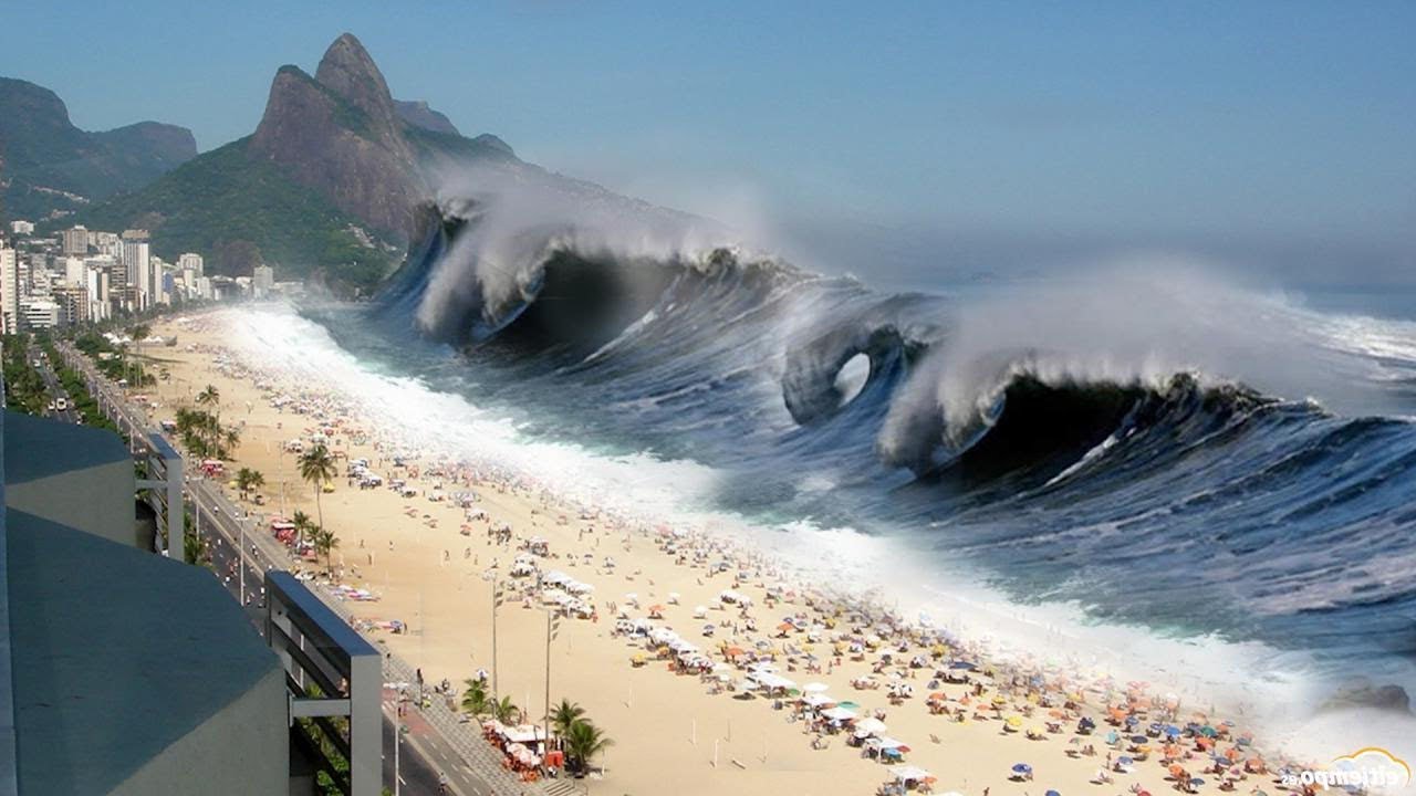
A tsunami is series of ocean waves that sends surges of water, often surpassing 100 feet on land. These mighty waves can cause widespread destruction when they crash ashore.

Tsunamis are cause by undersea earthquakes at tectonic plate boundaries, underwater landslides or volcanic eruption. Whenever, the ocean floor at a plate boundary rises or falls suddenly, it displaces the water above it and launches the waves that becomes a tsunami. Whilst, deep in the ocean tsunami waves appear small, however as they approach the shoreline they slow down and grow in energy and height. Upon approaching the shore the low point of beneath the wave’s crest often reaches first. When this happens , it produces a vacuum effect that sucks coastal water seaward, exposing harbor and sea floors. This is usually a warning sign of an oncoming tsunami, as the wave in its enormity usually return five minutes or more later. A tsunami is usually composed of a series of waves, called a wave train, the destructiveness of a tsunami increases with each wave.

Do hope you found this talk informative, please share what you know about earthquakes and tsunamis. I would love to know of any close encounters, do share your own thoughts and experiences.

Until next time the talk….continues!

References

https://kids.nationalgeographic.com/explore/science/earthquake/#earthquake-houses.jpg

https://www.nationalgeographic.com/search?q=earthquakes

https://simple.wikipedia.org/wiki/Richter_scale

https://www.google.com/search?q=tsunami&source=lnms&tbm=isch&sa=X&ved=0ahUKEwjwwezc2tfgAhWErFkKHSO7DqQQ_AUIDigB&biw=1280&bih=485#imgrc=G5G9FwBioewGCM:

https://www.nationalgeographic.com/environment/natural-disasters/earthquakes/

https://www.nationalgeographic.com/environment/natural-disasters/tsunamis/

Let’s Talk …..Plate Tectonics

Welcome Back!

In my last post, we talked about volcanoes on Earth. During our talk, the term plate tectonics was introduced. Hence, to further solidify our understanding of volcanoes, I thought why not explore this topic… rather scientific theory.

Here goes…..before plate tectonics, there was “continental drift” a theory first proposed by scientist Alfred Wegener in 1912, which provided no explanation of how the continents could move around the planet; however modern research, “plate tectonics” do.

According to Encyclopedia Britannica;

The concept of Plate Tectonics was formulated in the 1960s. From this theory it was derived that the Earth has a rigid outer layer, known as the lithosphere which is typically about 100 km (60 miles) thick and overlies a plastic (moldable, partially molten) layer called the asthenosphere.

The lithosphere is broken up into seven very large continental- and ocean-sized plates, six or seven medium-sized regional plates, and several small ones. These plates move relative to each other, at about 5 to 10 cm (2 to 4 inches) per year, and interact along their boundaries by converging, diverging, or slipping past each another. These interactions are thought to be responsible for most of Earth’s seismic and volcanic activity, although earthquakes and volcanoes can occur in plate interiors. Plate motions cause mountains to rise where plates push together, or converge, and continents to fracture and oceans to form where plates pull apart, or diverge. The continents are embedded in the plates and drift passively with them, which over millions of years results in significant changes in Earth’s geography.

Check out this video!

According to the World Atlas there are nine major plates; North American, South American, Pacific, Eurasian, African, Indo- Australian, Australian, Indian and Antarctic.

Though small in size the minor plates are equally important in the shaping of Earth, such as the tiny Juan de Fuca plate which is largely responsible for the volcanoes that dot the Pacific Northwest of the United States.

The movement of plates creates three type of tectonic boundaries; convergent, divergent and transform boundaries.

Convergent Boundaries

These boundaries are created when plates move into one another, causing the crust to crumple and buckle into mountain ranges such as that of the Himalaya, which was believe to have been created over 55 million years ago when India and Asia crashed into each other. Convergent boundaries also occur when the ocean plates dives under a landmass in subduction, as the overlaying plate is lifted it also forms mountain ranges.

Divergent Boundaries

According to National Geographic;

“At divergent boundaries in the oceans, magma from deep in the Earth’s mantle rises toward the surface and pushes apart two or more plates. Mountains and volcanoes rise along the seam. The process renews the ocean floor and widens the giant basins. A single mid-ocean ridge system connects the world’s oceans, making the ridge the longest mountain range in the world.

On land, giant troughs such as the Great Rift Valley in Africa form where plates are tugged apart. If the plates there continue to diverge, millions of years from now eastern Africa will split from the continent to form a new landmass. A mid-ocean ridge would then mark the boundary between the plates.”

Transform Boundaries

This occurs when two plates grind past each other along what is called strike-slip faults. These boundaries don’t produce mountains or oceans, but the halting motion often triggers earthquakes.The San Andrea Fault in California is an example of a transform boundary.

This marks the end of this talk, hope you found it informative and interesting. Share you thoughts, I would love to hear from you!

Until next time the talk……..continues.

References

https://www.livescience.com/37706-what-is-plate-tectonics.html

https://www.google.com/url?sa=i&rct=j&q=&esrc=s&source=images&cd=&cad=rja&uact=8&ved=2ahUKEwi4392ukNfgAhXBp1kKHZmyARYQjRx6BAgBEAU&url=https%3A%2F%2Fslideplayer.com%2Fslide%2F10703584%2F&psig=AOvVaw3r6k6Uq_X-eOu-EqEO3bHw&ust=1551192395005673

https://www.livescience.com/37706-what-is-plate-tectonics.html

https://www.google.com/search?q=nine+major+plates&client=firefox-b&source=lnms&tbm=isch&sa=X&ved=0ahUKEwiBs_rwkdfgAhWFmlkKHRjiDNoQ_AUIDigB&biw=1280&bih=910#imgrc=wYpcPksNtfJiSM

https://www.britannica.com/science/plate-tectonics

https://www.britannica.com/science/plate-tectonics

Let’s Talk….Volcanoes

A volcano is a vent in the crust of the Earth, another planet or satellite, from which issue eruptions of molten rock, hot rock fragments and hot gases.

Volcanoes are the creators of eighty percent of the earth’s surface, as with each eruption the foundation for life on Earth was laid.

How are volcanoes formed?

Most of the Earth’s volcanoes are formed along it’s tectonic plates; as they constantly shift and bump into each other. When these plates collide and one plunges deep below the other forming what is called the Subduction Zone,  sinking deep into the Earth, this causes the temperature and pressure to rise, releasing water from the rocks, which reduces the melting point of the rock, forming magma (molten underground rock).

However, not all volcanoes are form through subduction, others are formed through hotspot volcanism. This is when a zone of magmatic activity or hotspot in the midst of a tectonic plate pushes up through the crust to form a volcano. Though the hotspot is thought to be largely stationary, the tectonic plates continue their slow movements, which oftentimes creates a line of volcanoes or islands on the surface. This mechanism is thought to be behind the Hawaii volcanic chain.

Volcanoes usually erupt in one of two ways; explosively or effusively.
Explosive eruptions happen when viscous molten rock traps the gasses, building pressure until it violently breaks free. Whilst, effusive eruptions occur when the magma is less viscous, or runny, which allows gas to escape and the magma to flow down the volcano’s slopes.


The Ring of Fire

The ring of fire is a major area in the basin of the Pacific Ocean, containing a string of volcanoes, seismic activities and earthquakes. Approximately ninety percent of the Earth’s volcanic activity occur in this area.

It is shaped more like a horseshoe with a string of 452 volcanoes stretching from the southern tip of South America, up along the coast of North America, across the Bering Strait, down through Japan, and into New Zealand. The ring closes with the dormant and active volcanoes of Antarctica.

Most of the active volcanoes on The Ring of Fire are found on its western edge, from the Kamchatka Peninsula in Russia, through the islands of Japan and Southeast Asia, to New Zealand.  

Mount Ruapehu

Mount Ruapehu in New Zealand is one of the more active volcanoes in the Ring of Fire, with yearly minor eruptions, and major eruptions occurring about every 50 years.

Active Volcanoes in the Caribbean

The Soufrière Hills – Monsterrat

The Soufrière Hills – Monsterrat
January 1997

Mount Pelée -Martinique

Last erupted in 1929

La Soufrière- St. Vincent

Last Erupted in 1979

La Grande Soufrière – Guadeloupe

Last Erupted in 1977

Although there have been no history of eruption since prehistory, the Nevis Peak located in the centre of the island of Nevis, is regarded as potentially active as there are active fumaroles and hot springs on the coastal slopes of the island, and these represent low-level volcanic activity.

The Nevis Peak

Do hope you found this talk informative, please share what you know about volcanoes. I would love to know of any close encounters, such as visiting any volcano natural parks or witnessing of an eruption. Do share your own thoughts and experiences.

Until next time the talk….continues!

References;

https://en.wikipedia.org/wiki/Ring_of_Fire

https://www.nationalgeographic.com/science/earth/reference/hawaii-volcanoes-explained/

https://www.dosomething.org/us/facts/11-facts-about-volcanoes

https://www.nationalgeographic.com/science/2018/07/news-most-dangerous-volcano-mount-rainier-supervolcanoes-yellowstone/

https://www.google.com/search?biw=1366&bih=657&tbm=isch&sa=1&ei=F9tyXP3TK4en5gK5yJy4BQ&q=the+ring+of+fire&oq=the+ring+of+fire&gs_l=img.3..0l10.305770.311251..311723…0.0..0.119.2994.32j3……0….1..gws-wiz-img…..0..0i24j0i67.QzRMpeTgQAE#imgrc=bE09i4OggDNTVM:

https://www.britannica.com/place/Mount-Pelee

https://www.britannica.com/place/Mount-Pelee/media/449146/147017